
35048. Lake Michigan Harbor Maps Showing Life-Saving Station c.1890.
Welcome to Kenrick A. Claflin & Son
Featured on our web site and in our monthly web catalogues are new and out-of-print books, documents, post cards, photographs, maps and charts, engravings, lithographs, uniforms and insignia, tools, lamps, lens apparatus, equipment and apparatus and much more relating to these heroic services.
We now issue most of our catalogues on line rather than by mail. This allows us to issue more catalogues and feature more items, with better photos and descriptions. Let us know your email address and we will email you monthly as our catalogues are posted.
Type in your search word. After hitting Enter you will automatically be brought back to this page. Scroll down to this spot to see the results of search. Pages containing your search word will be listed. You will be allowed to click on the pages found. When on each page, Windows Explorer will allow you to use Ctrl + F to bring up a search box for that page. Type in your search word again and hit “Enter”. You will be taken to that item.
35048. Lake Michigan Harbor Maps Showing Life-Saving Station c.1890.
Lake Michigan Harbor Maps Showing Life-Saving Station c.1890.
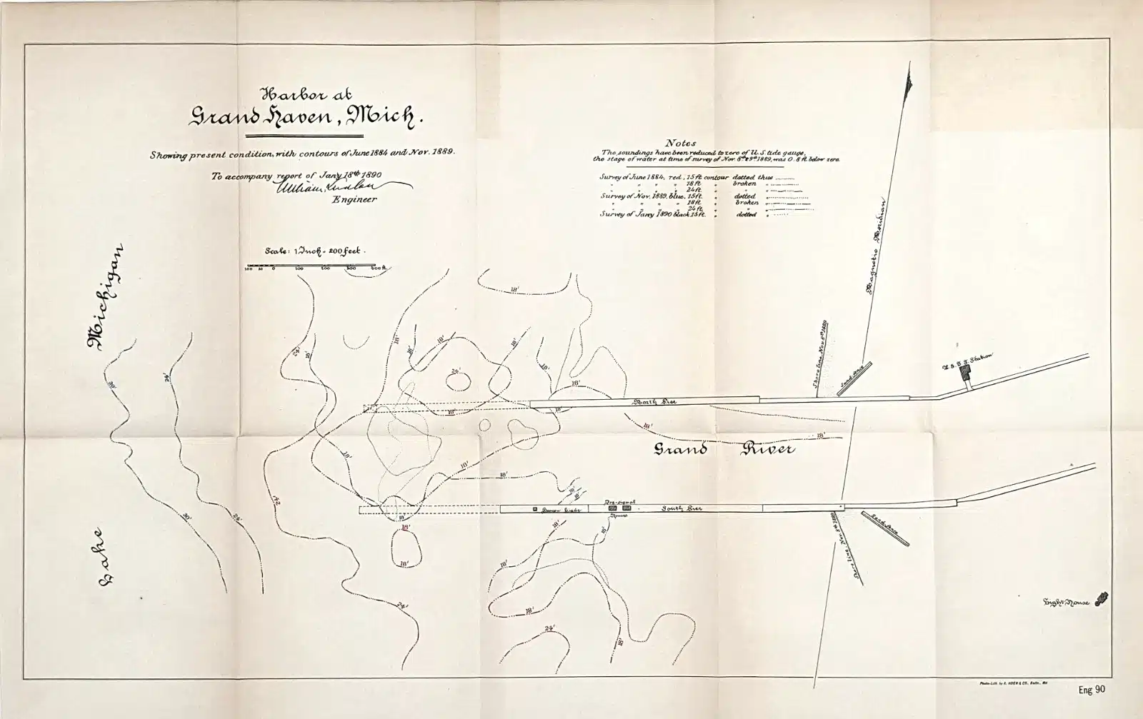
35048a.Grand Haven Harbor
This product is an original 1890 antique map of the Harbor at Grand Haven Michigan published by the U.S. Chief of Engineers and measures 21.25×12.5 inches. Rare and very detailed nautical map of Grand Haven Harbor with the US Life Saving Station shown, tidal gauge lines, North and South Pier, Lake Michigan and channel entrance. Perfect for collectors and enthusiasts of antique maps, this map is a valuable piece of North American cartographic history. Good condition, discoloration, creases as issued. $95.
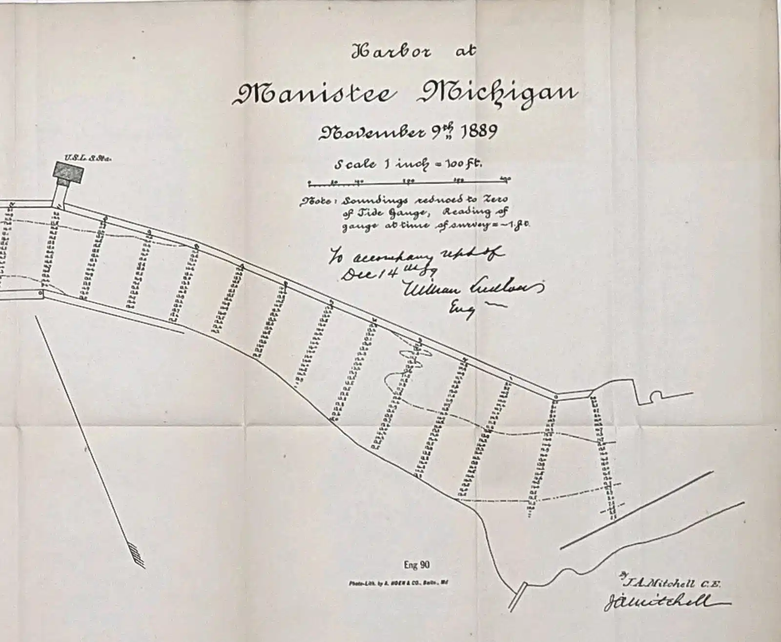
35048b. Manistee Harbor
This product is an original 1889 antique map of Manistee Harbor Michigan published by the U.S. Chief of Engineers and measures 33.5×14 inches. Rare and very detailed nautical map of Manistee Harbor with soundings, light beacon and U.S. Life Saving station. Perfect for collectors and enthusiasts of antique maps, this map is a valuable piece of North American cartographic history. Good condition, discoloration, creases as issued. $95.
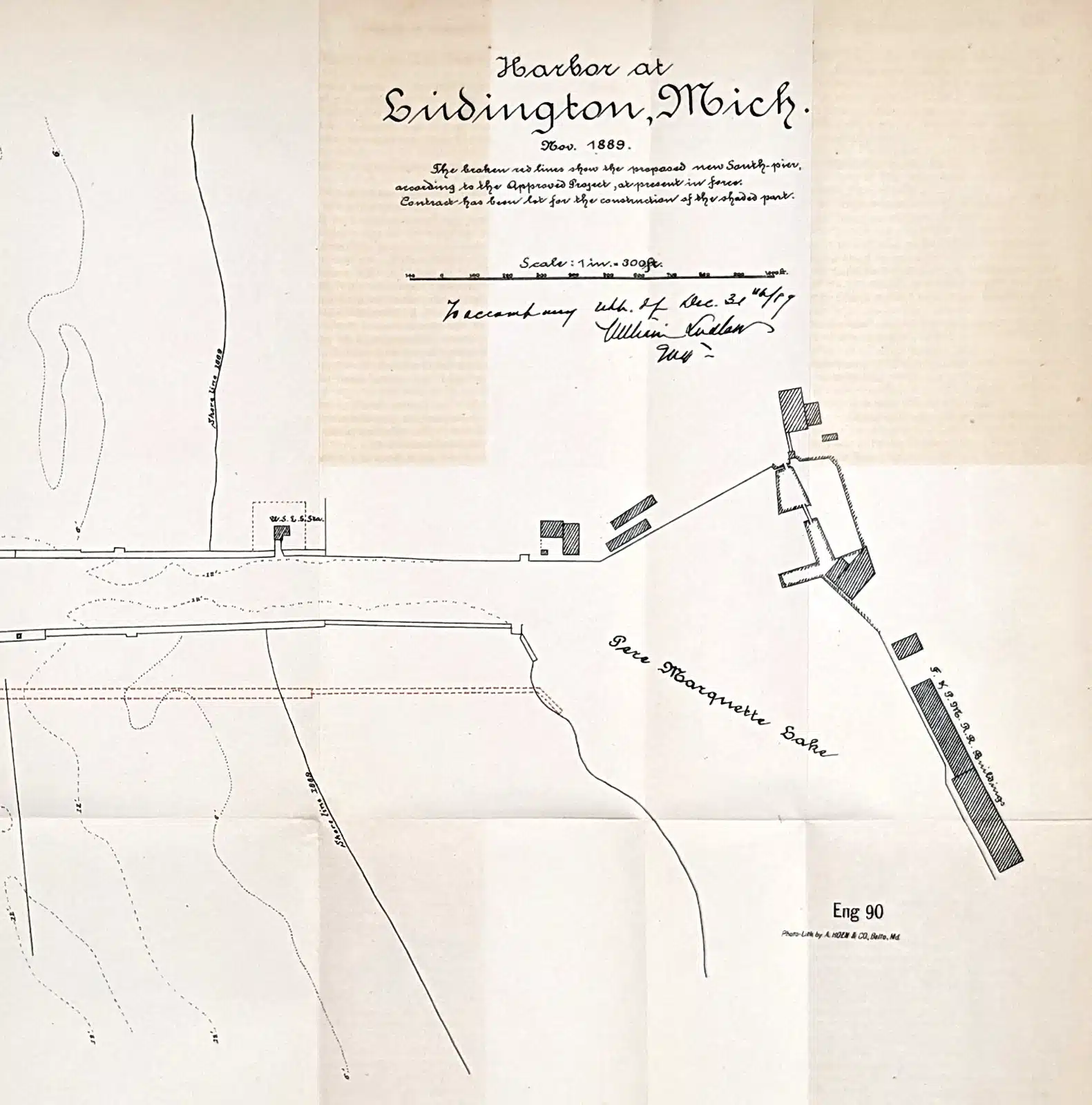
35048c. Ludington Harbor
This product is an original 1890 antique map of the Harbor at Ludington Michigan published by the U.S. Chief of Engineers and measures 17×12 inches. Rare and very detailed nautical map of Ludington Harbor with the US Life Saving Station shown, the proposed new South Pier, soundings, Pere Marquette Lake and shore line of 1889. Perfect for collectors and enthusiasts of antique maps, this map is a valuable piece of North American cartographic history. Good condition, discoloration, creases as issued. $95.
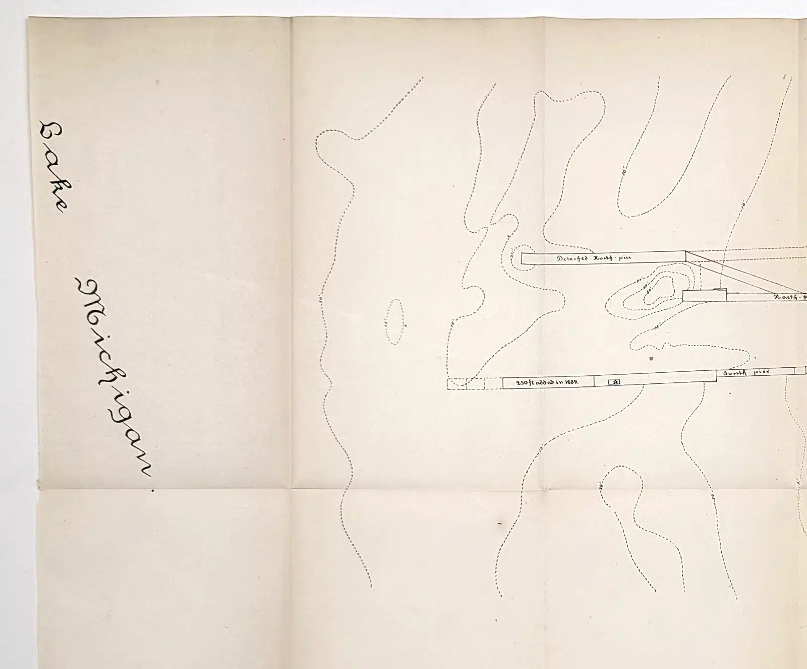
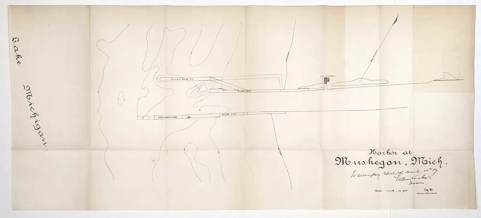
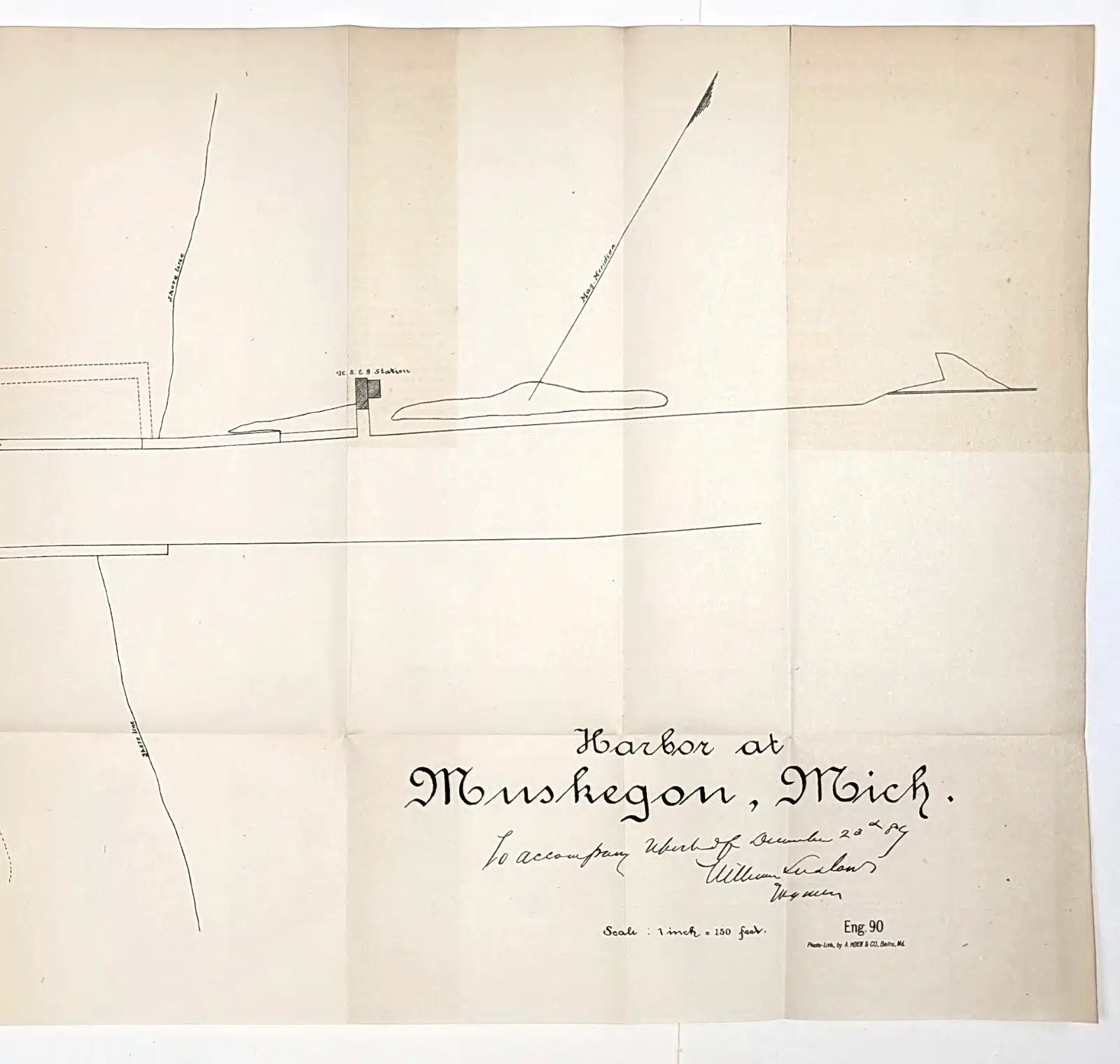
35048d. Muskegon Harbor
This product is an original 1889 antique map of Muskegon Harbor Michigan published by the U.S. Chief of Engineers and measures 27.25×12 inches. Rare and very detailed nautical map of Muskegon Harbor with North and South Piers and U.S. Life Saving station. Perfect for collectors and enthusiasts of antique maps, this map is a valuable piece of North American cartographic history. Good condition, discoloration, creases as issued. $95.